Maps
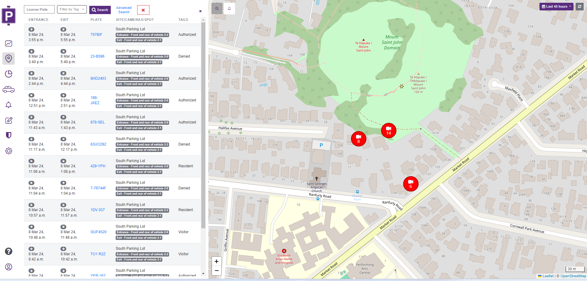
The Maps feature provides a quick and efficient way to visualize and track alerts from different locations. To use this feature, it is necessary to configure the latitude and longitude coordinates in the advanced settings of your cameras. Once these settings are in place, the information will be displayed on the map.